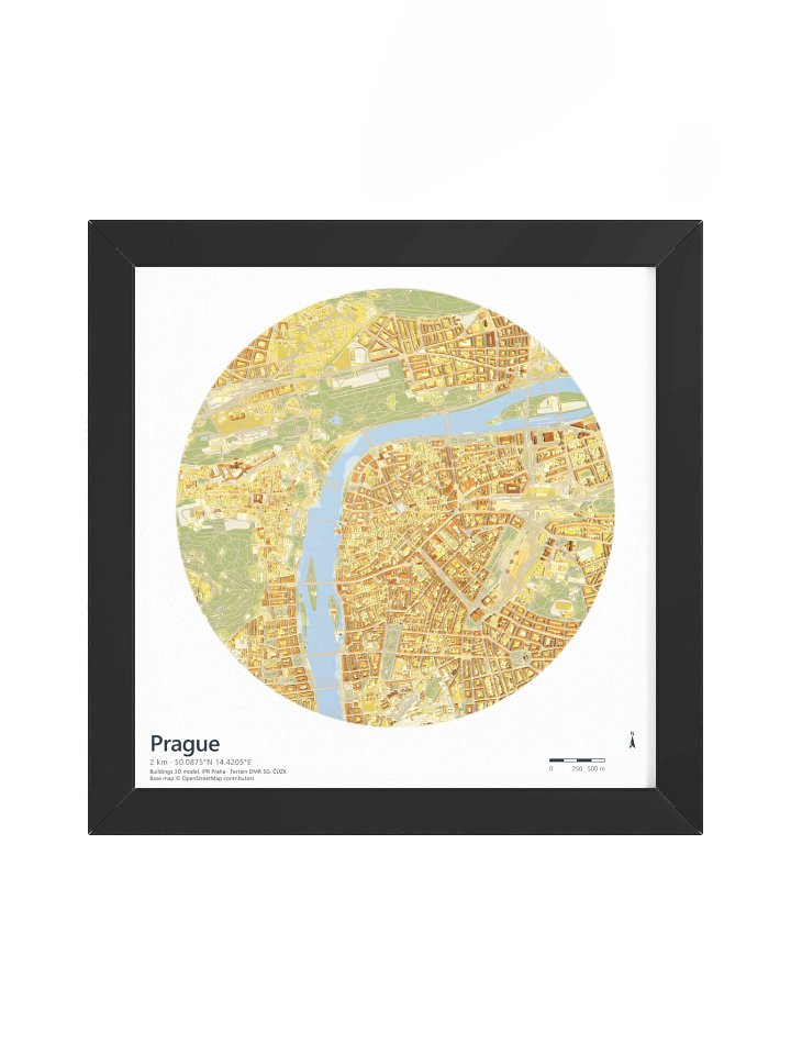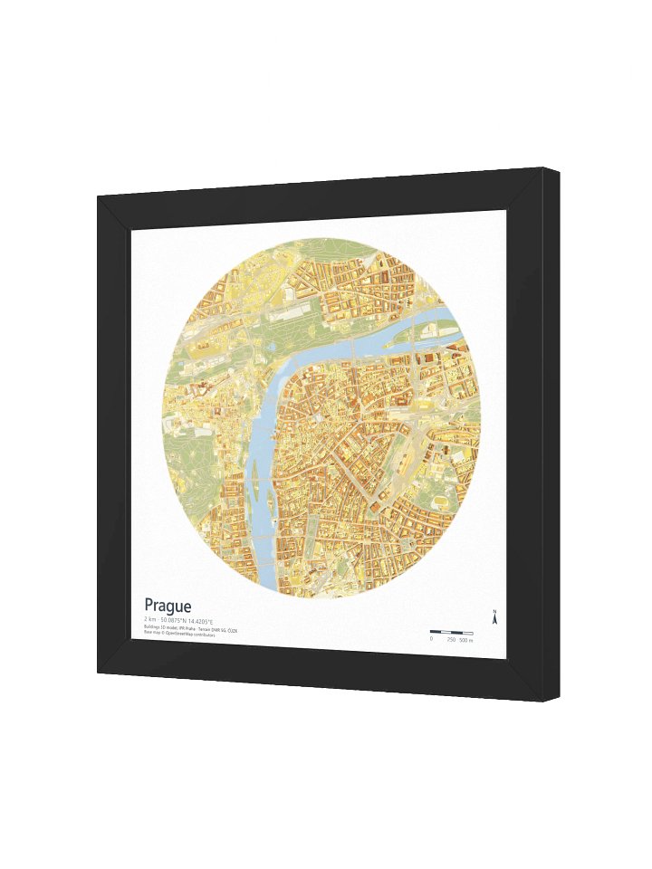
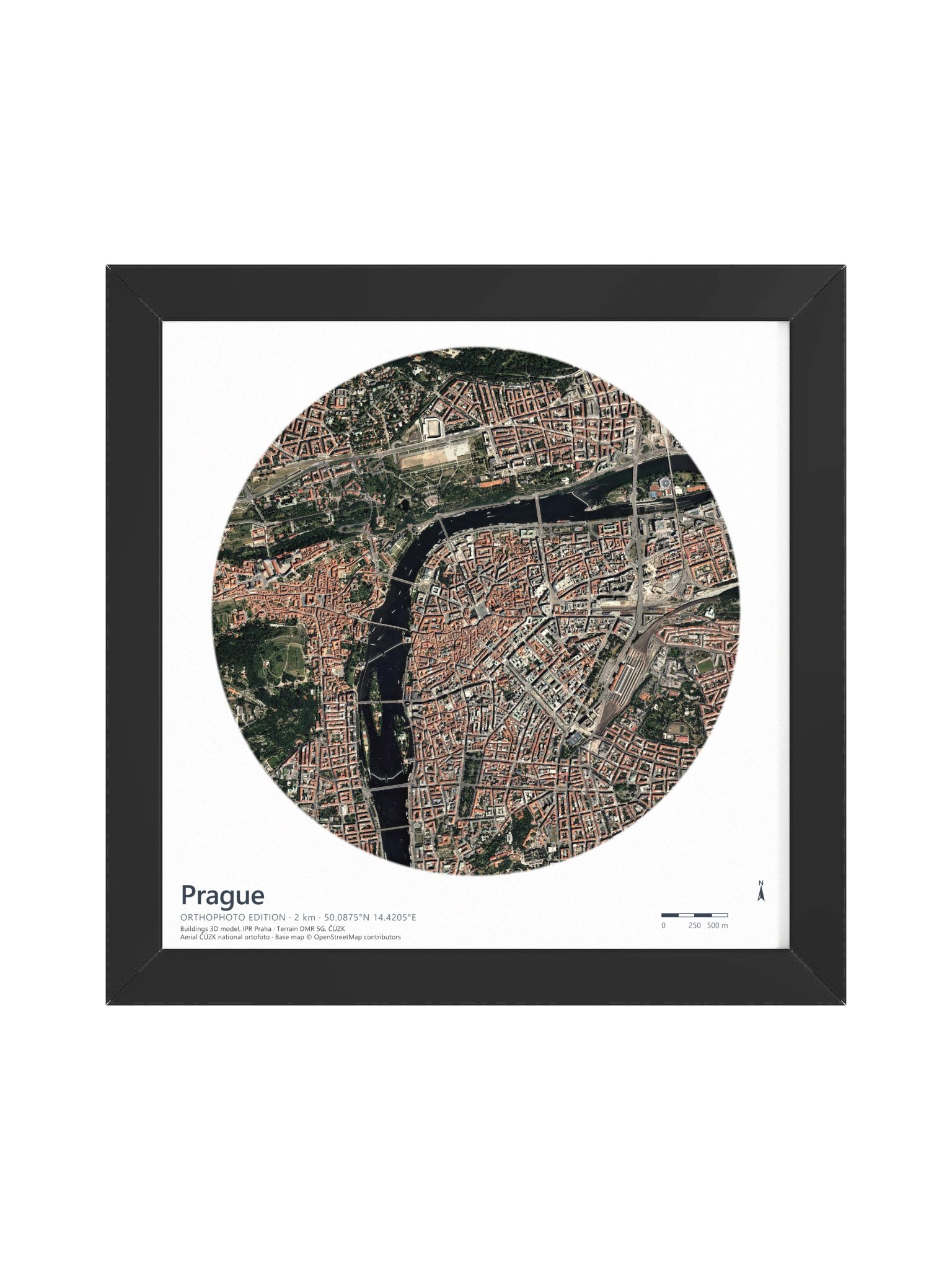
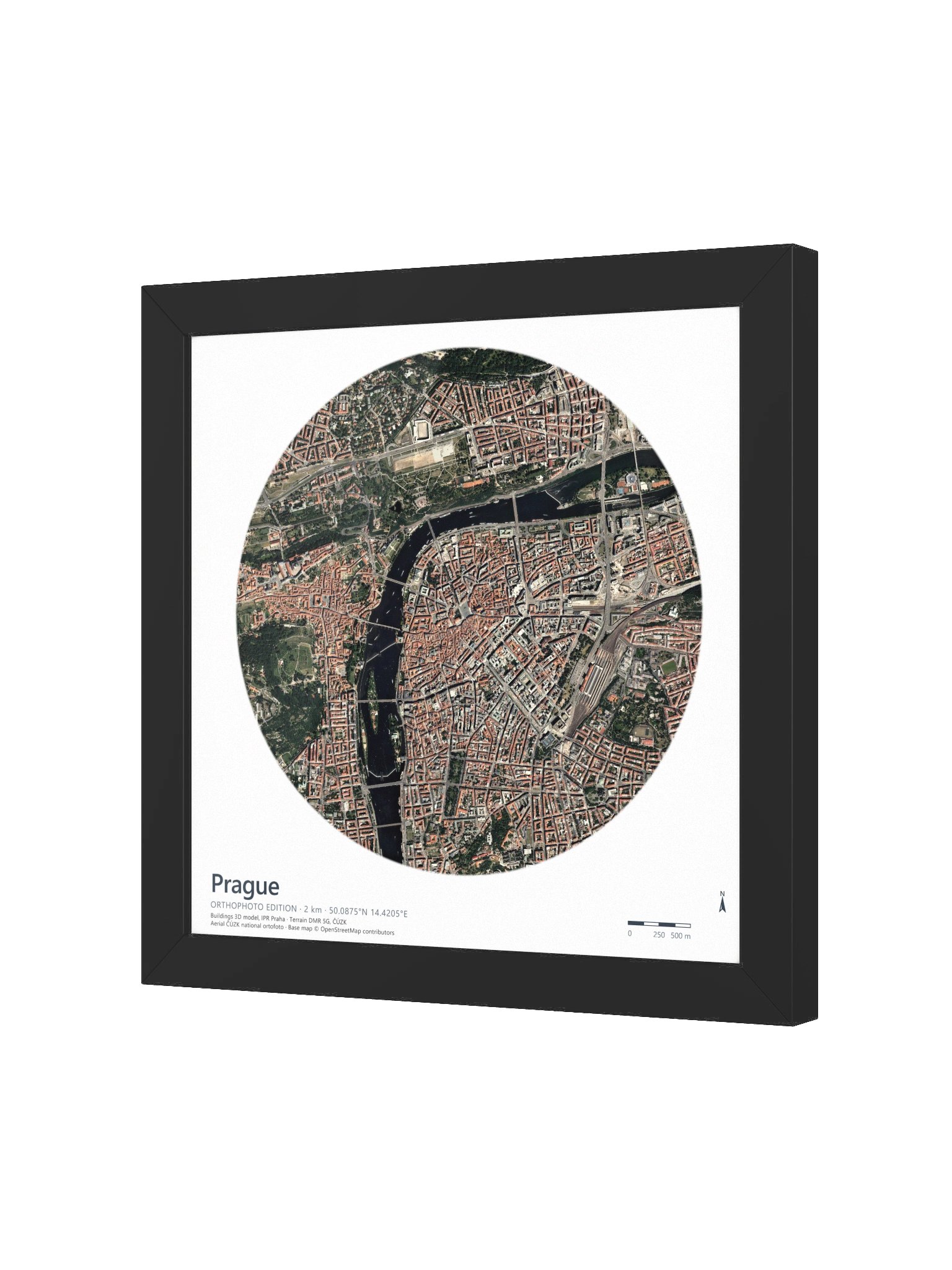
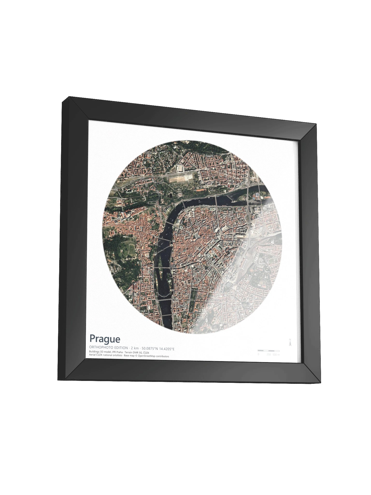
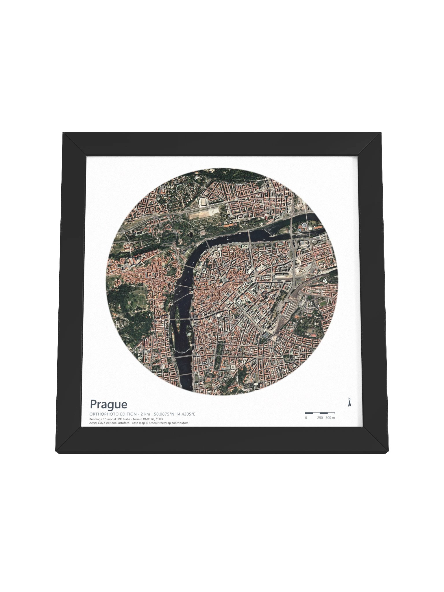
Prague: 3D City Aerial Map
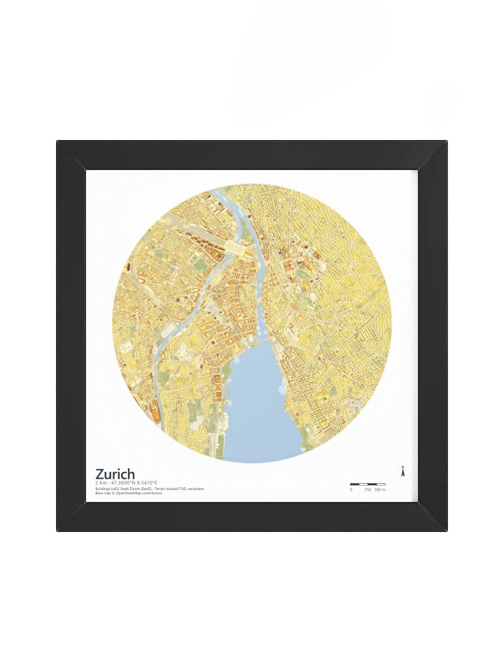
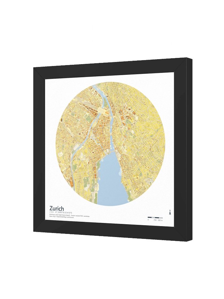
Every building in this map is real. The roofs come from IPR Praha's official 3D city model, set on ČÚZK's DMR 5G national terrain model. The light is not a filter: the whole city was path traced, the same technique film studios use, with the shadows computed ray by ray from a sun standing 60° above the horizon.
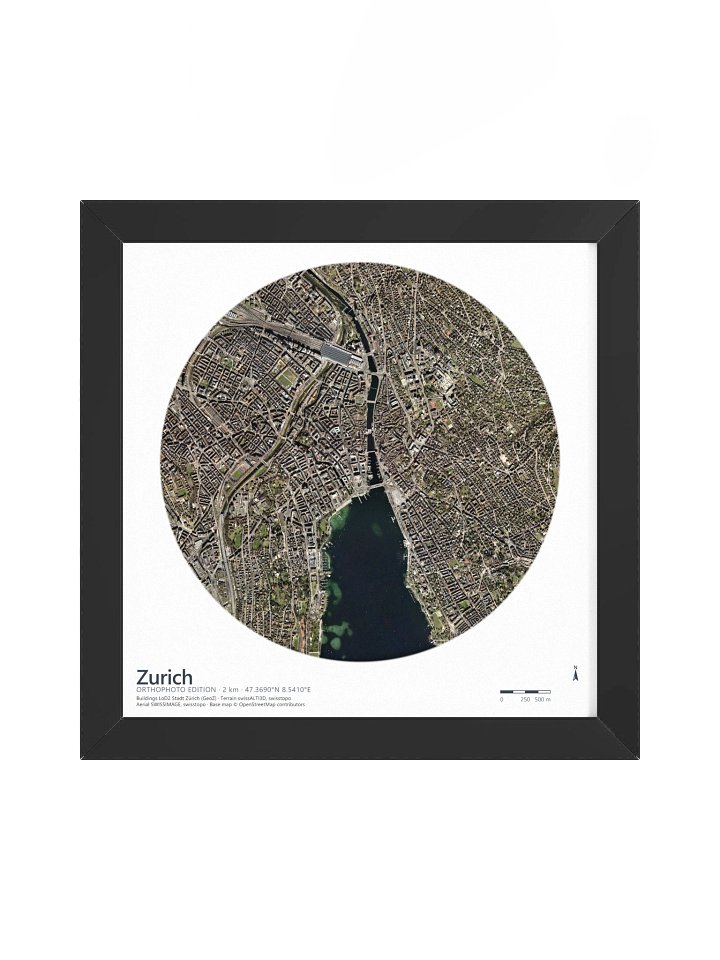
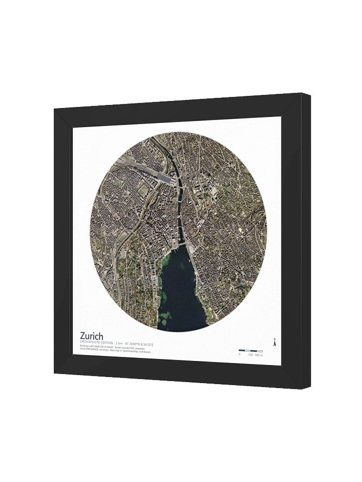
Here the same computed light falls on the real city — ČÚZK's national orthophoto draped over the 3D model. The red-tile roofs of Staré Město go warm, the Vltava carries its own colour, Petřín and the Castle gardens come through green, and the path-traced shadows drop into the lanes between them. Every block casts the shadow its true height earns.
Printed on museum-quality matte paper in an Ayous wood frame.
Details — 2 km radius around the Old Town · 50.0875° N, 14.4205° E · EPSG:32633 · Buildings: 3D city model, IPR Praha · Imagery: national orthophoto, ČÚZK · Terrain: DMR 5G, ČÚZK · Base map © OpenStreetMap contributors · Path-traced global illumination — real computed shadows, not hillshade · Museum-quality matte paper, Ayous wood frame
More details
- Alder, semi-hardwood frame from renewable forests
- 75" (1.9 cm) thick frame
- Acrylite front protector
- Due to local wood import regulations, framed posters cannot be shipped to Australia.
EU GPSR Product Information:
- Manufacturer contact information
- Name: Milos Makes Maps
- Email: contact@support.milosmakesmaps.com
- Postal address: PO Box 5696 Santa Monica, CA 90405
- Additional information: This product is made for adults. Meets the lead level requirements. 2 year warranty in EEA and UK
Quality Guarantee & Returns
- Quality is guaranteed. If there is a print error or visible quality issue, we'll replace or refund it.
- Because the products are made to order, we do not accept general returns or sizing-related returns.