Zurich — Path-Traced 3D City Map · Framed Matte Poster
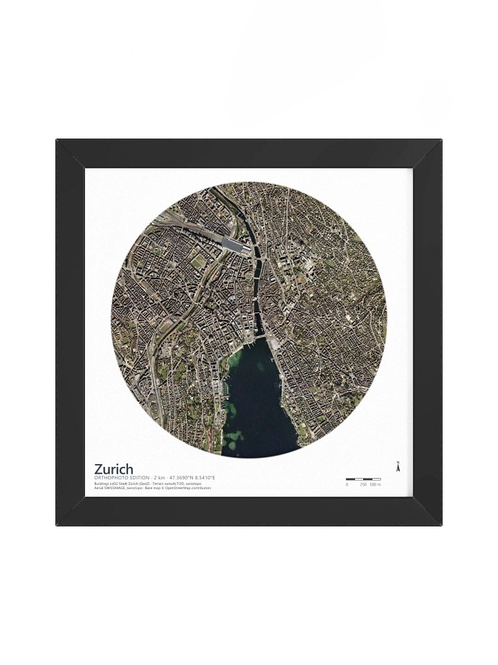
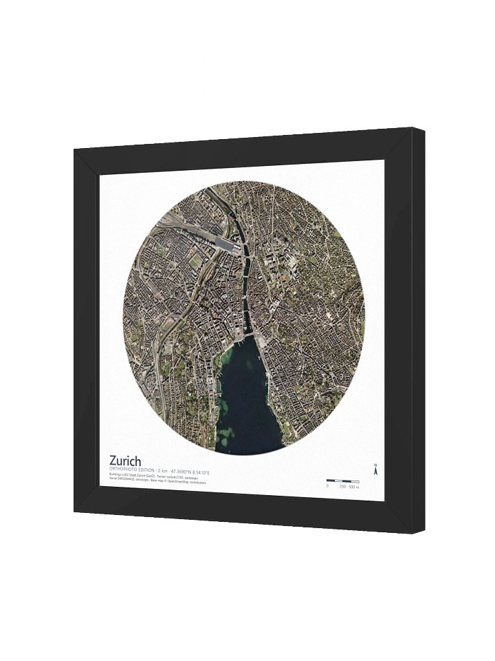
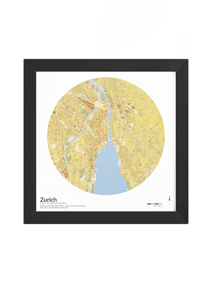
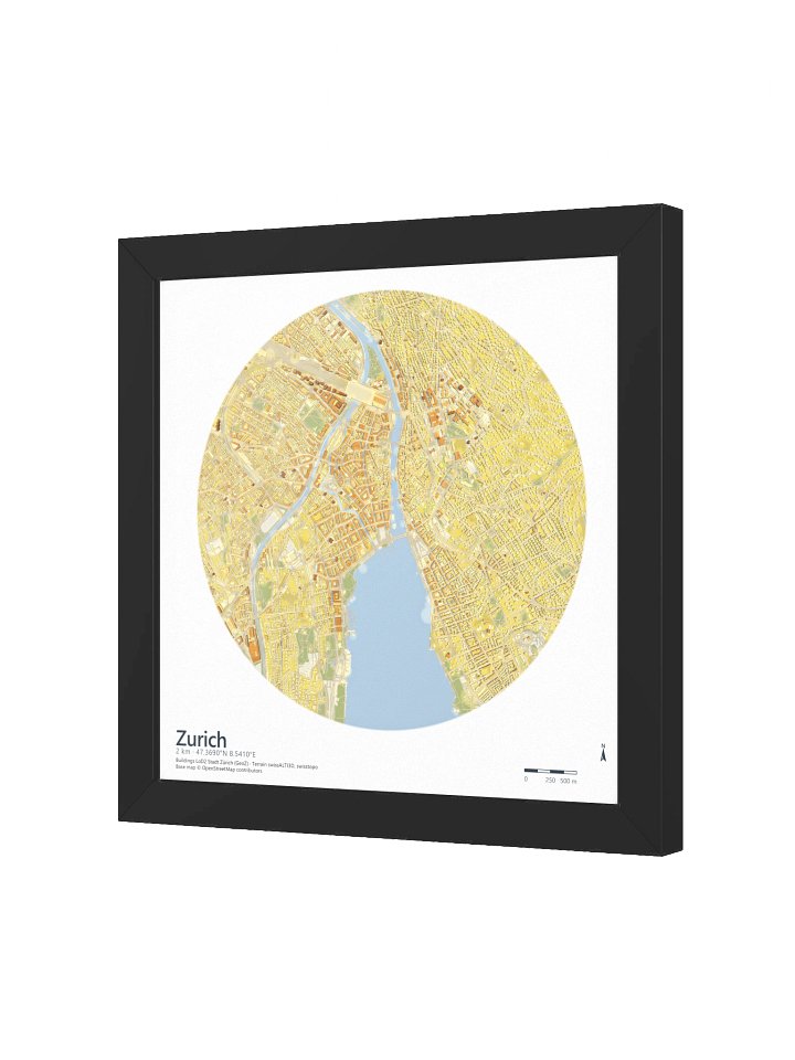
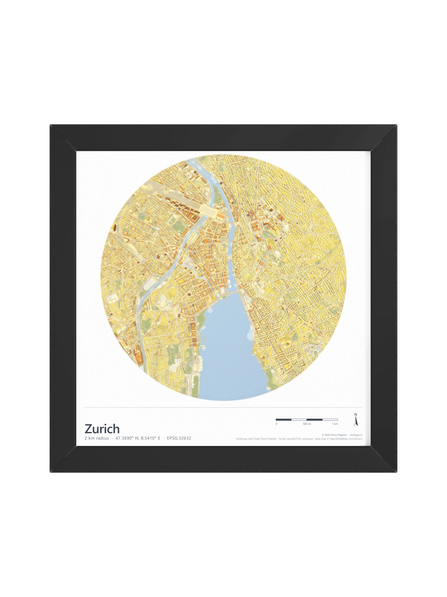
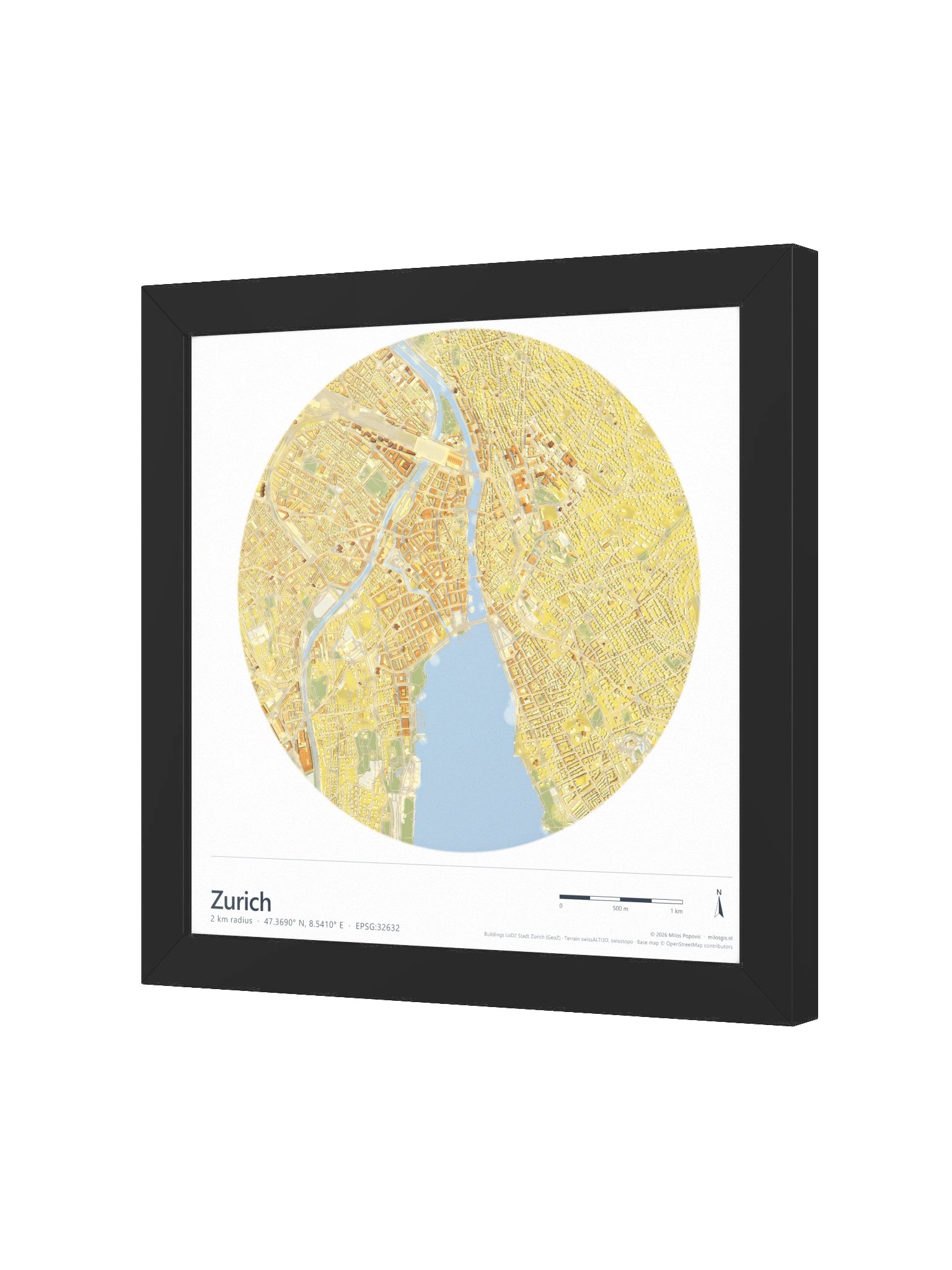
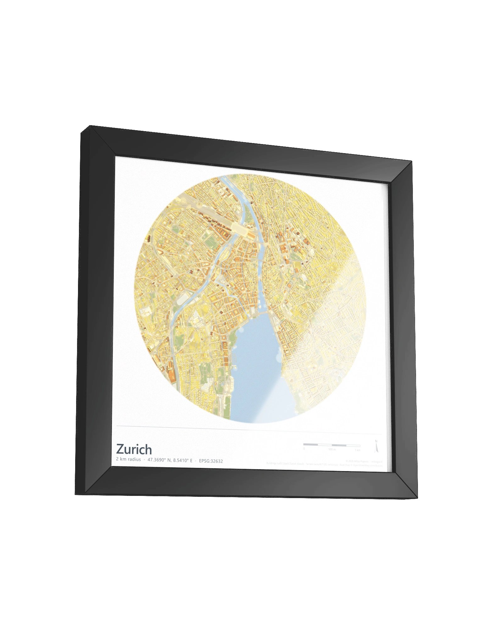
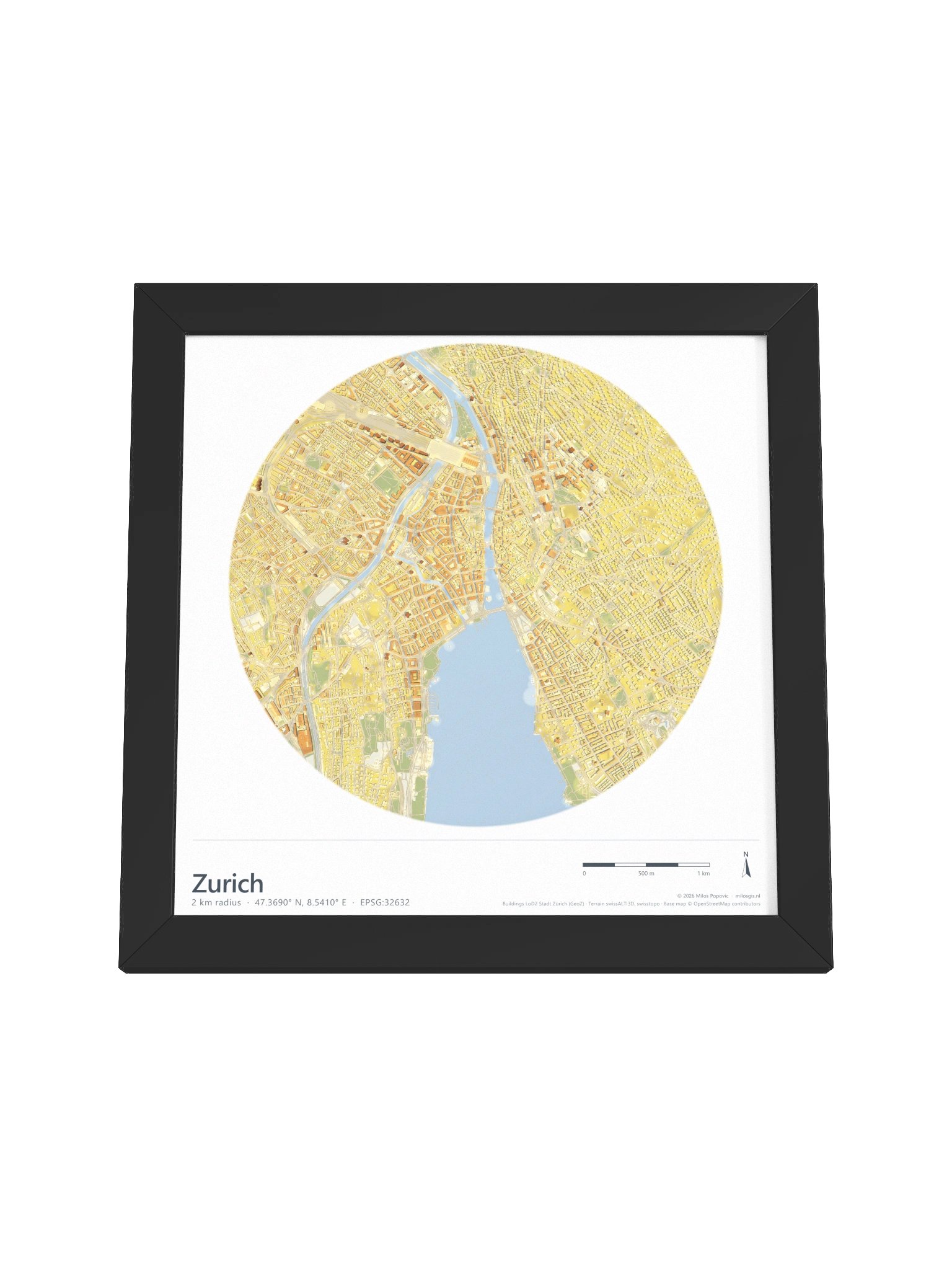
Every building in this map is real. The roofs come from Stadt Zürich's official LoD2 building model — surveyed geometry, not guesswork — and the terrain from swisstopo's swissALTI3D. Then I lit the whole city with a physically based path tracer, the same technique film studios use. The shadows threading through the lanes of the Altstadt aren't drawn; they're computed, ray by ray, from a sun standing 60° above the horizon.
This is Zurich the way the lake made it: the Zürichsee pushing its basin into the city's heart, the Limmat carrying it out through the old town, and the fine-grained fabric climbing the valley slopes on either side — nearly two hundred metres of relief inside a two-kilometre circle. From the rail fan spreading out of the Hauptbahnhof to the quays where the lake begins, every block casts the shadow its true height earns.
Printed on museum-quality matte paper in an Ayous wood frame, ready to hang.
Details
- 2 km radius around the centre · 47.3690° N, 8.5410° E
- Buildings: LoD2, Stadt Zürich (GeoZ) · Terrain: swissALTI3D, swisstopo · Base map © OpenStreetMap contributors
- Path-traced global illumination — real computed shadows, not hillshade
- Archival matte paper, water-based inks · wooden frame, three shades
More details
- Alder, semi-hardwood frame from renewable forests
- 75" (1.9 cm) thick frame
- Acrylite front protector
- Due to local wood import regulations, framed posters cannot be shipped to Australia.
EU GPSR Product Information:
- Manufacturer contact information
- Name: Milos Makes Maps
- Email: contact@support.milosmakesmaps.com
- Postal address: PO Box 5696 Santa Monica, CA 90405
- Additional information: This product is made for adults. Meets the lead level requirements. 2 year warranty in EEA and UK
Quality Guarantee & Returns
- Quality is guaranteed. If there is a print error or visible quality issue, we'll replace or refund it.
- Because the products are made to order, we do not accept general returns or sizing-related returns.