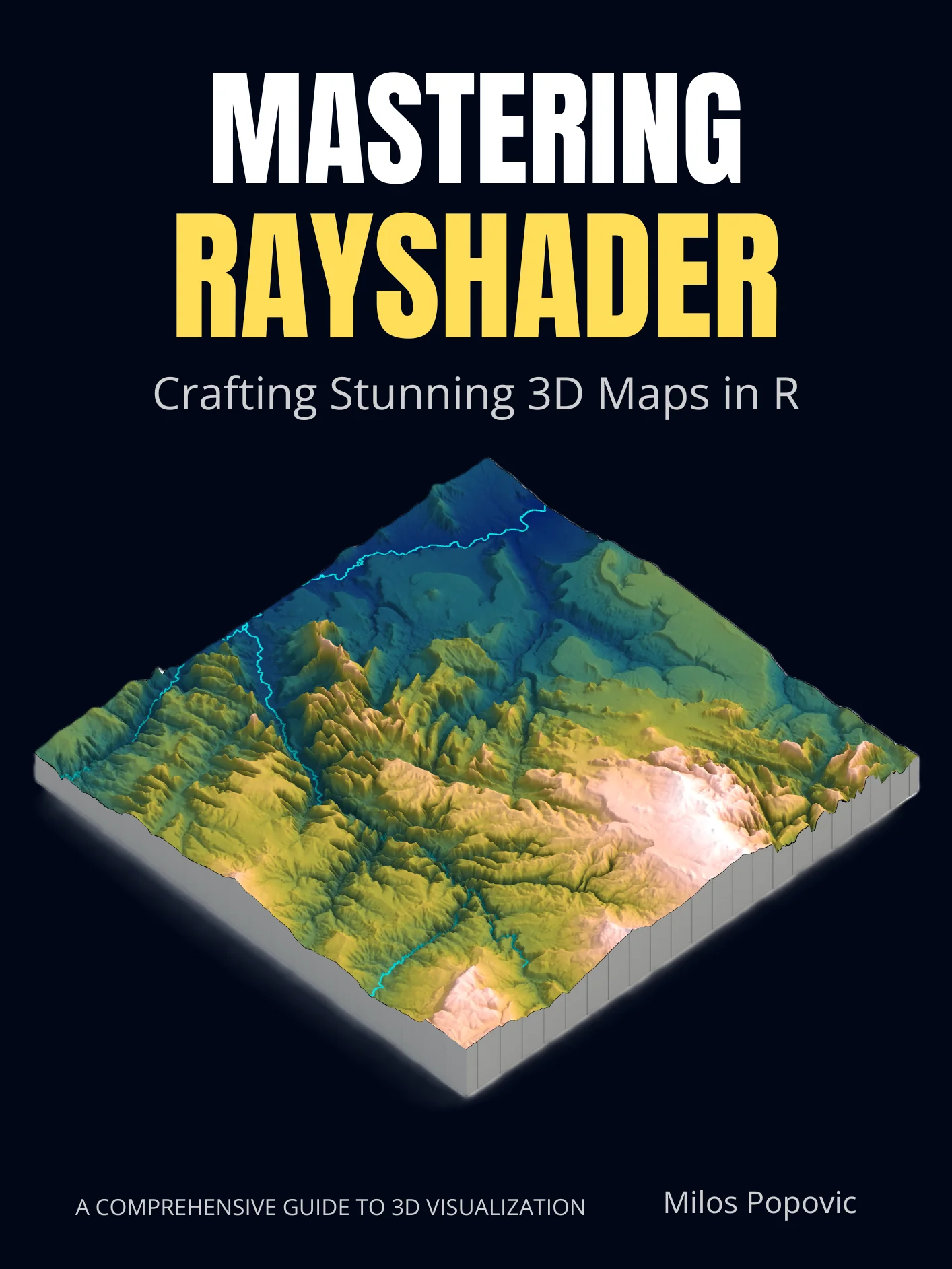
Mastering Rayshader: Crafting Stunning 3D Maps in R
Whether you've admired those jaw-dropping 3D terrain renders on social media or you're a seasoned R user who's never ventured into three-dimensional cartography, Mastering rayshader takes you from "how did they make that?" to "I just made that."
In clear, fully annotated code and plain-English explanations, it walks you through every step of building photorealistic 3D maps in R — from downloading your first elevation tile to publishing HDRI-lit, animation-ready visualizations that belong in a portfolio, a journal article, or a gallery wall.
What You'll Create & Learn
- 19 hands-on chapters progressing from your first 3D map of Mount Fuji to a polished capstone project of Lake Bled, Slovenia — with real-world datasets at every stage
- Dozens of production-ready maps featuring iconic landscapes: the Matterhorn, Zhangjiajie's "Avatar Mountains," Stelvio Pass, Torres del Paine, and more
- Every geometry type mastered — points (earthquake epicenters on Mount St. Helens), lines (48 hairpin turns of Stelvio Pass), polygons (lake surfaces in Patagonia), rasters (land cover in Sri Lanka), and statistical surfaces (Swiss population density)
- Fully annotated R scripts plus companion code for every chapter — copy, run, adapt
Why This Book Stands Out
- Accessibility is non-negotiable. Every chapter tests palettes for color vision deficiency, meets WCAG contrast standards, and teaches you to write proper alt-text. Your maps will work for everyone.
- Reproducibility from day one. Chapter 0 sets up environment, version control, Docker, and GitHub Actions before you write a single line of map code. Six months from now, your project still runs.
- The "why" matters as much as the "how." You won't just memorize function calls — you'll understand CRS projections, shading algorithms, zscale ethics, and when not to use 3D at all.
- Problem-first learning. Each chapter opens with a real cartographic challenge, not a feature list. You solve problems; the tools follow.
- DRM-free PDF — download instantly, search, annotate, and read on any device you own.
Who It's For
- R users ready for the next dimension. You're comfortable with basic R, dplyr, and ggplot2 — now you want to make maps that stop the scroll.
- Researchers and analysts. You need publication-quality terrain visualizations and reproducible workflows that reviewers can actually verify.
- Data journalists and storytellers. You want cinematic 3D maps that communicate complex spatial patterns at a glance.
- GIS professionals curious about R. You know spatial data but want to add rayshader's rendering power to your toolkit.
What You Get
- A one-chapter setup to your first working 3D map — Mount Fuji, rendered and rotating, before you finish your coffee
- Portfolio-ready visualizations for projects, publications, or interviews
- Reusable, reproducible workflows — renv-locked environments, cached data pipelines, and CI/CD automation
- Professional finishing techniques — HDRI lighting, animation encoding, web-optimized exports, and interactive HTML widgets
- Ethical cartography skills — know when 3D helps, when it misleads, and how to keep your maps accessible to all viewers
Quick Facts
| Format | PDF + companion R scripts |
| Length | 19 chapters + 5 appendices, full color |
| Skill level | Comfortable R user → professional 3D cartographer |
| Key packages | rayshader, terra, sf, ggplot2, elevatr, scico |
| License | Personal use, unlimited devices |
Ready to turn flat data into photorealistic 3D landscapes? Click "Buy Now" to download your copy and start rendering today.