Zurich: 3D City Map
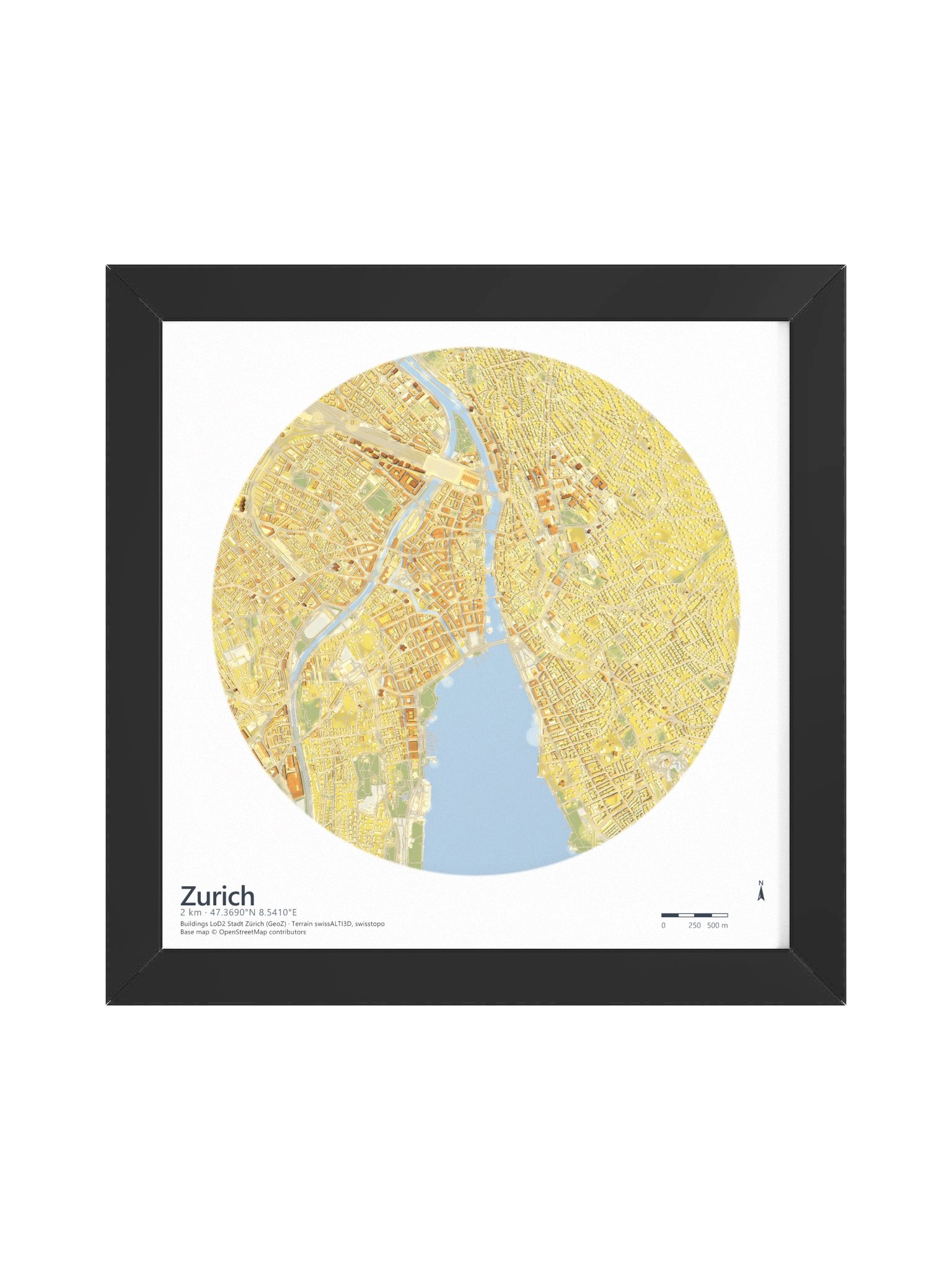
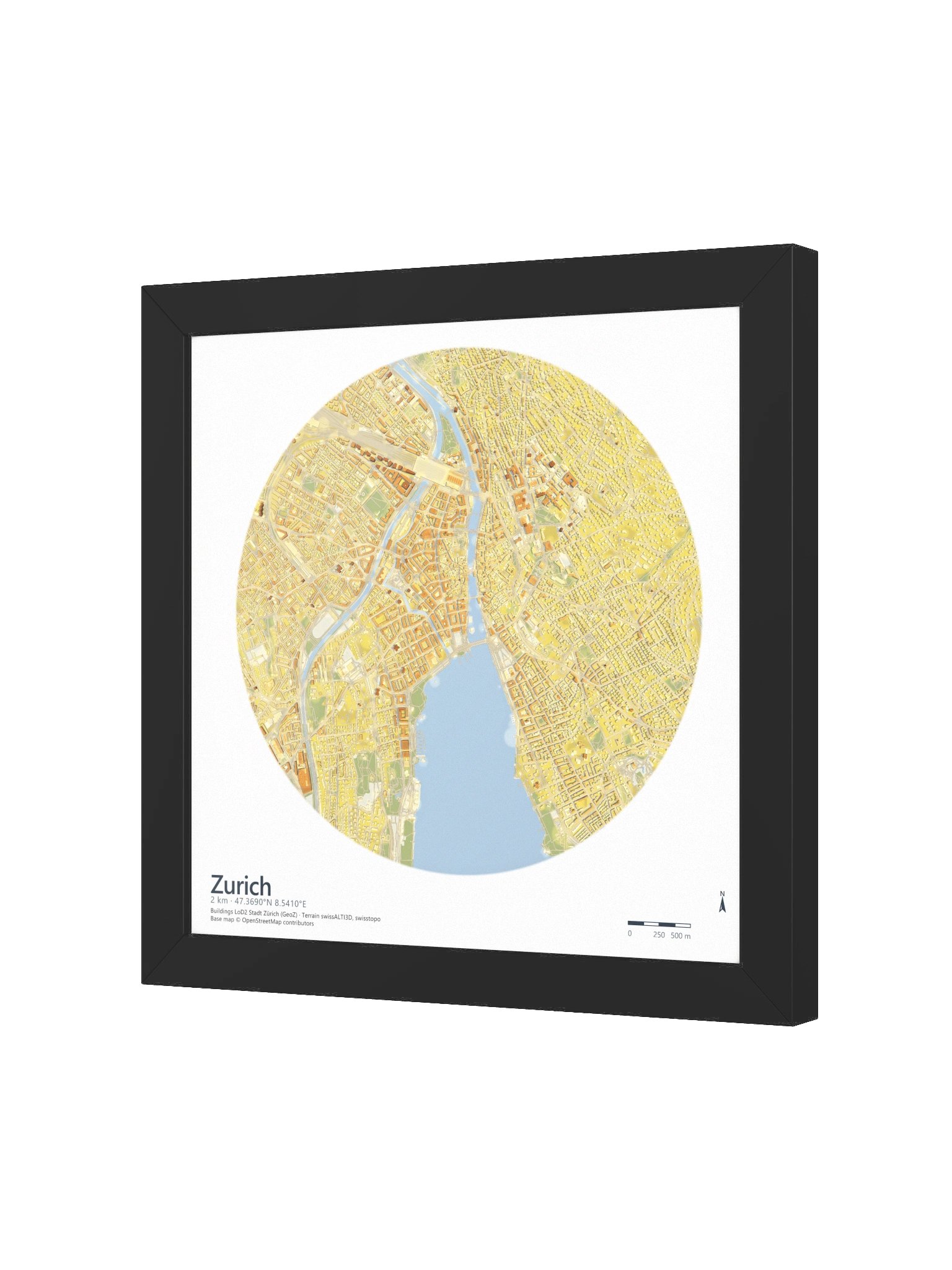
Every building in this map is real, with shadows computed ray by ray.
The steepest city in the series
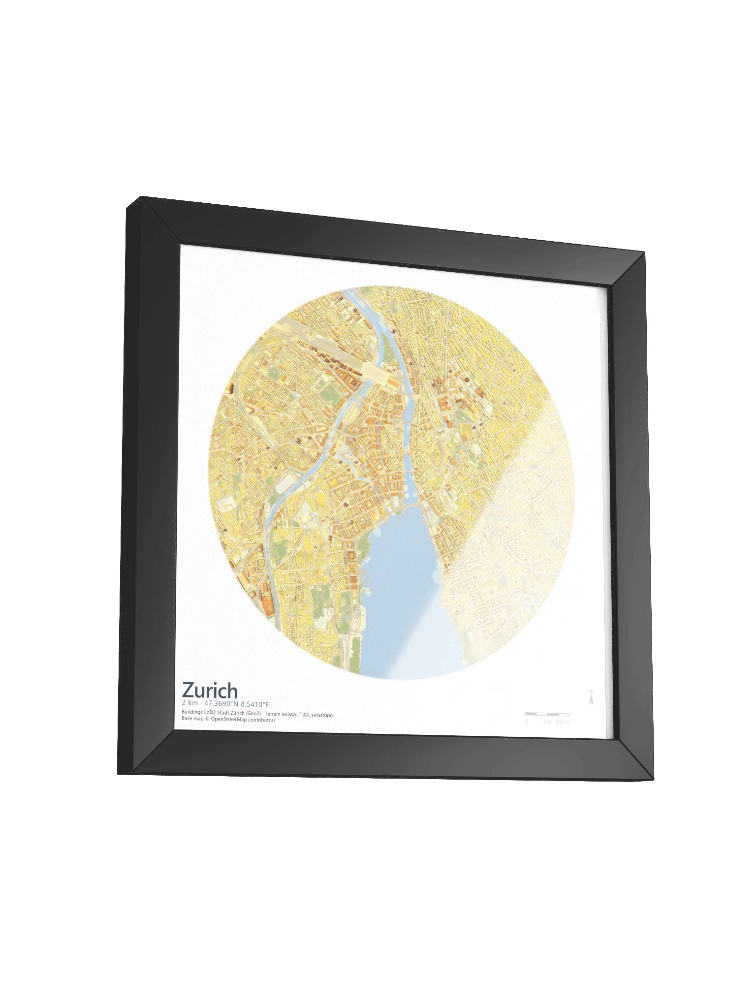
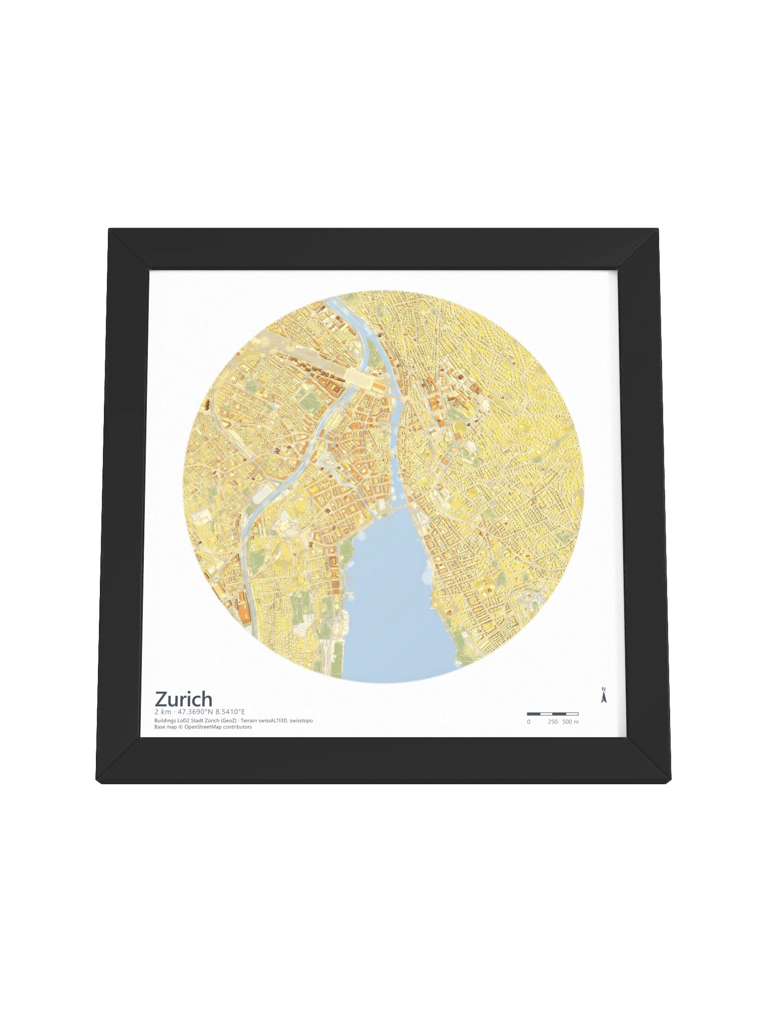
Lake Zürich fills the base of the disc. The Limmat leaves it and threads north through the Altstadt, the medieval core straddling the water, with the Sihl joining from the south-west.
The ground climbs away from the lake on both sides, so the blocks on the slopes catch the sun differently from the ones on the valley floor. Every block casts the shadow its true height earns.
Details
- Area: 2 km radius around the Altstadt, 47.3690° N, 8.5410° E
- Buildings: LoD2, Stadt Zürich (GeoZ)
- Terrain: swissALTI3D, swisstopo
- Base map: © OpenStreetMap contributors
- Light: Path-traced global illumination, from a sun 60° above the horizon
- Print: Museum-quality matte paper
- Frame: Ayous wood, 0.75″ (1.9 cm) thick, with an Acrylite front protector
More details
- Ayous wood frame
- 0.75″ (1.9 cm) thick frame
- Acrylite front protector
- Due to local wood import regulations, framed posters cannot be shipped to Australia.
EU GPSR Product Information:
- Manufacturer contact information
- Name: Milos Makes Maps
- Email: contact@support.milosmakesmaps.com
- Postal address: PO Box 5696 Santa Monica, CA 90405
- Additional information: This product is made for adults. Meets the lead level requirements. 2 year warranty in EEA and UK
Quality Guarantee & Returns
- Quality is guaranteed. If there is a print error or visible quality issue, we'll replace or refund it.
- Because the products are made to order, we do not accept general returns or sizing-related returns.