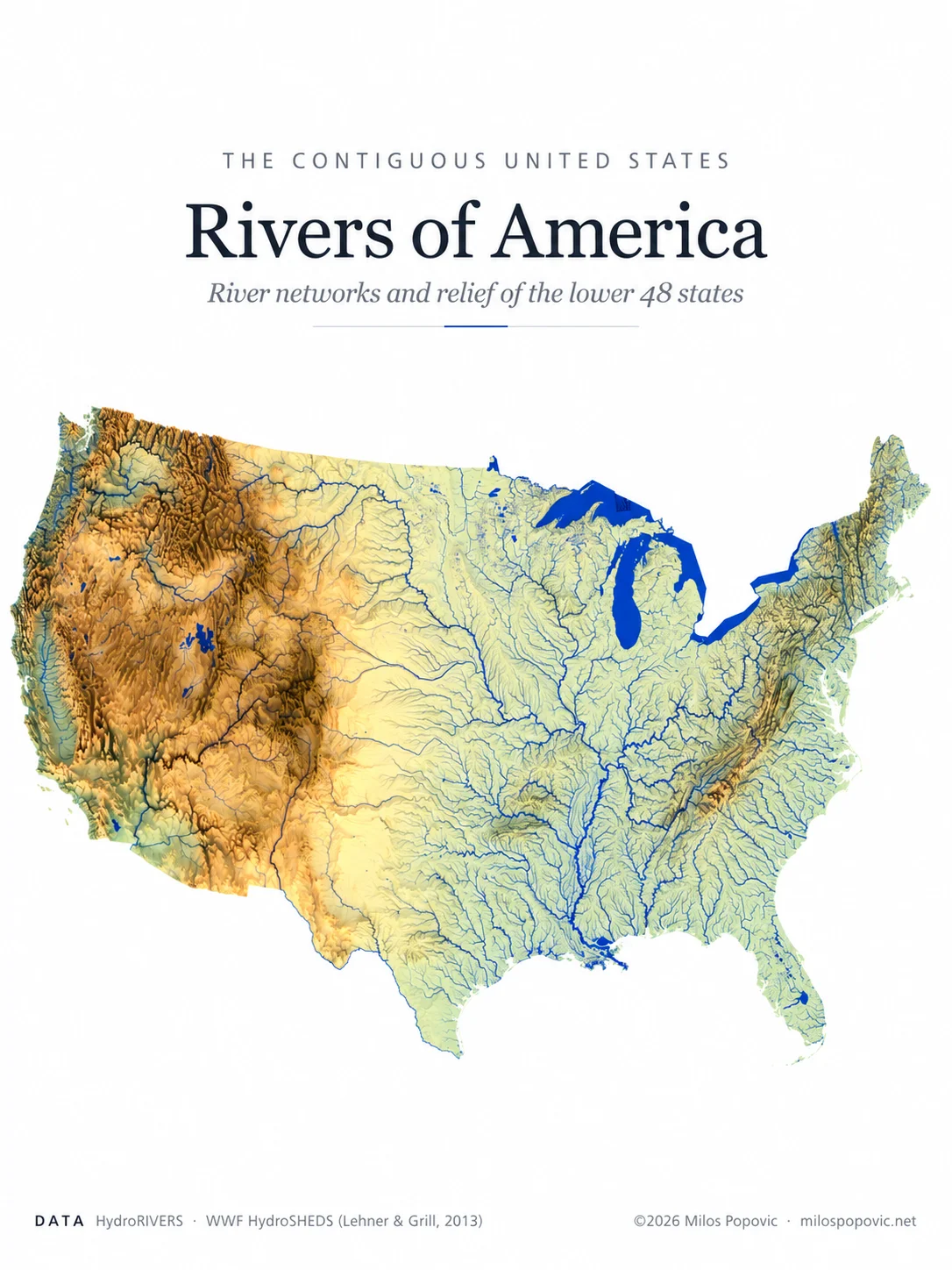
Mainland USA Hydrology & Relief Map
The river network of the lower 48 states, drawn over shaded relief. Each blue line follows a river channel traced from satellite elevation data. You can follow the Mississippi's huge branching basin, the rivers crossing the Great Plains, and the short, steep streams of the Pacific coast. In the Great Basin, some rivers never reach the sea and end in inland lakes such as the Great Salt Lake.
Warm browns show the Rockies and the western ranges, and the Appalachian ridges run down the east. Together they show how mountains decide where every drop of water goes.