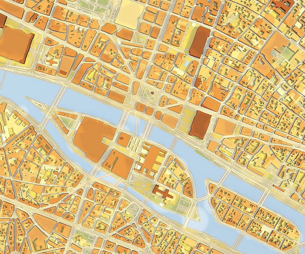
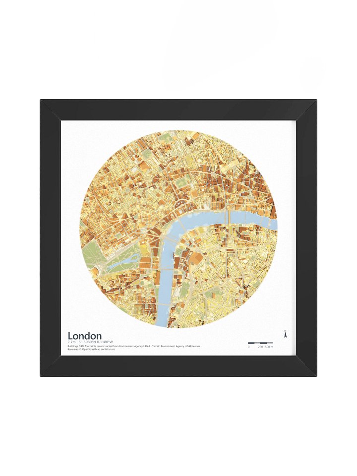
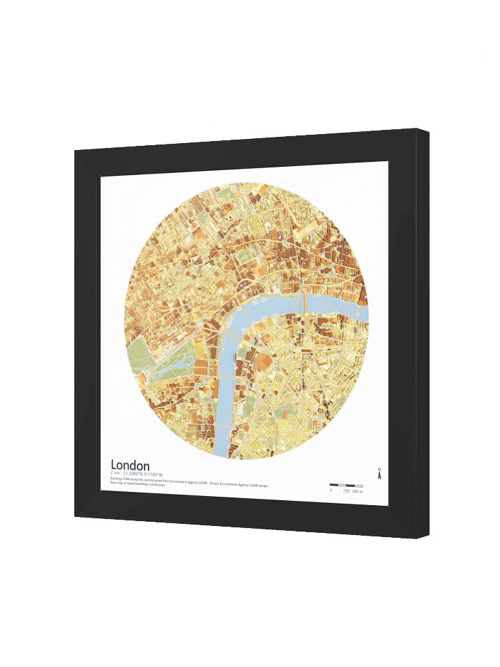
Every building in this map is real.
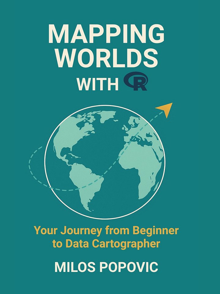
3D city prints, animated maps and books by Milos Popovic.
25.9K YouTube subscribers · 99 videos · Two books on making maps in R
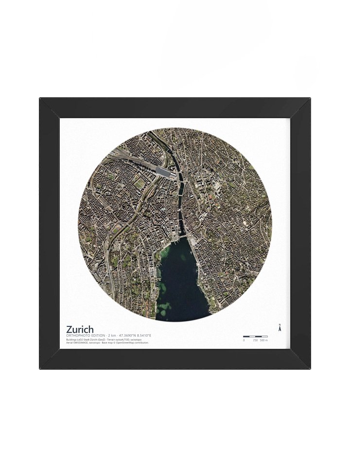
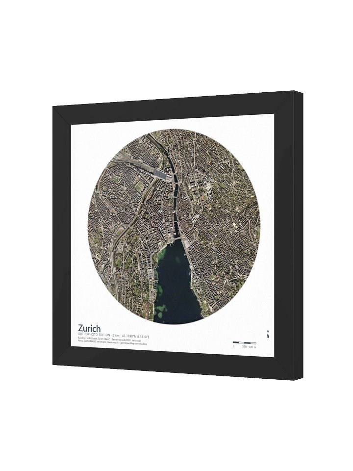
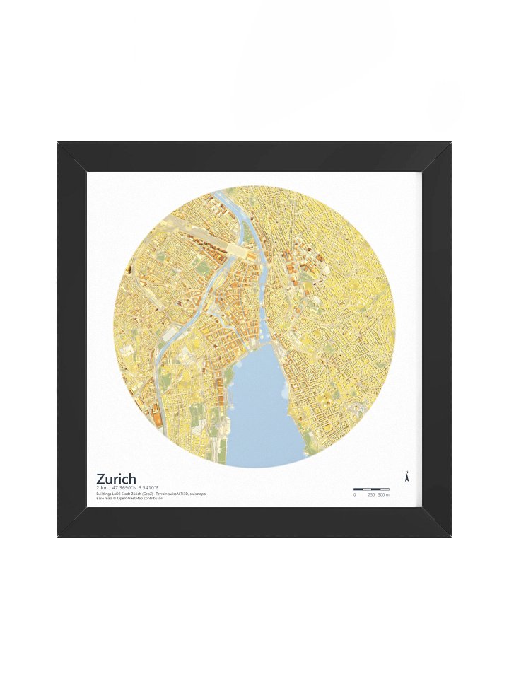
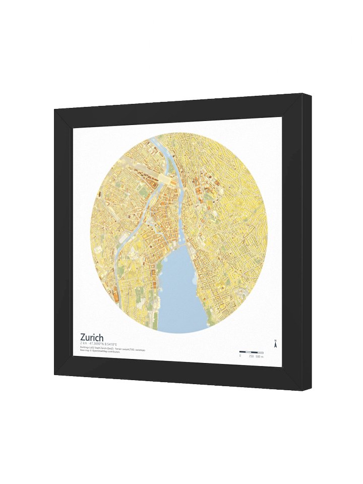
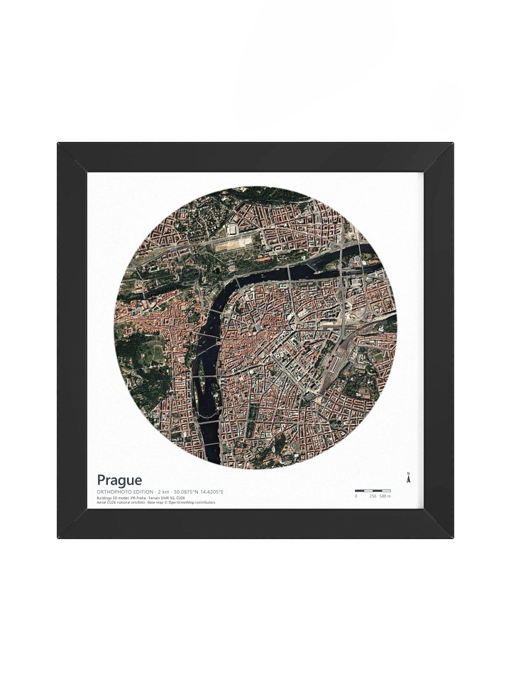
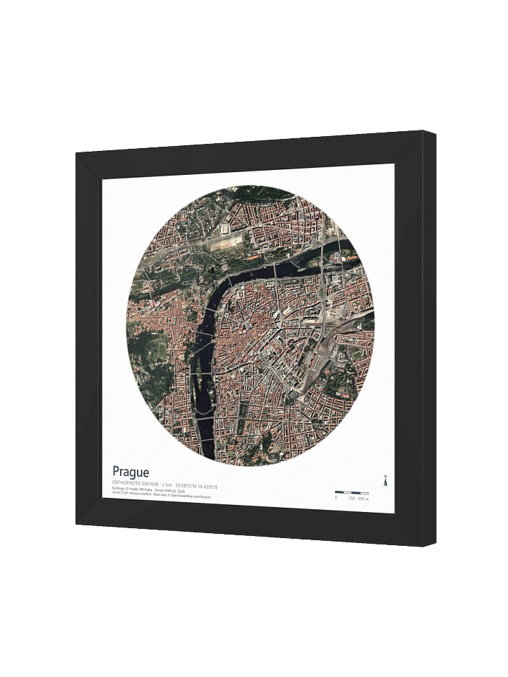
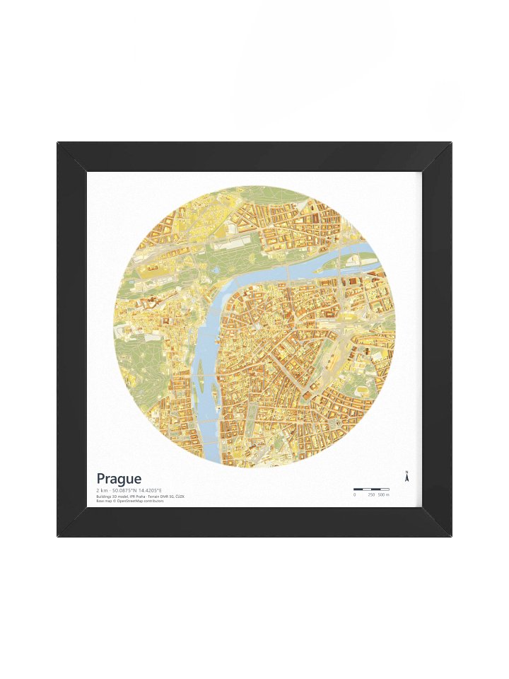
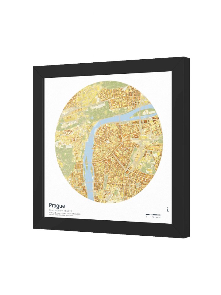
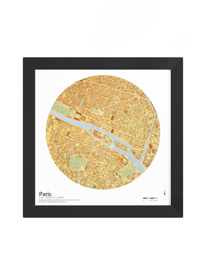
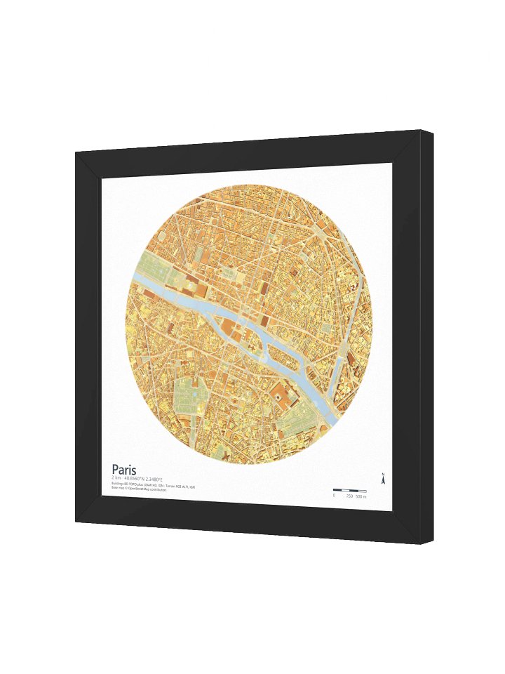


Measured, then lit like a film
Real roofs
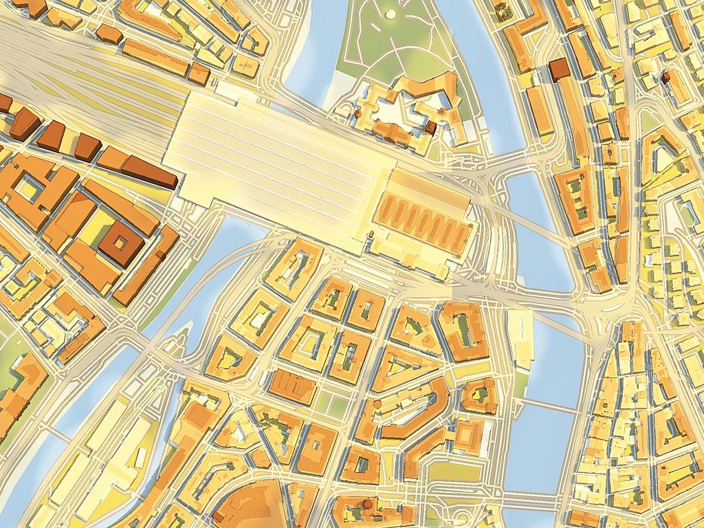
Zurich’s roofs come from the city’s own LoD2 model: surveyed roof planes, not extruded boxes.
Real terrain
The city stands on swissALTI3D, the national terrain model from swisstopo.
Computed light
Path tracing works out each shadow ray by ray, from a sun 60° above the horizon.
Zurich at close range, from the 7200 px plate.
Keep the maps you see in your feed
Map Collector members get 33 animated maps from August to October 2026, plus the rest of the member collection, to download for personal use.